
 Continue with onX Maps
 Sign in with Facebook


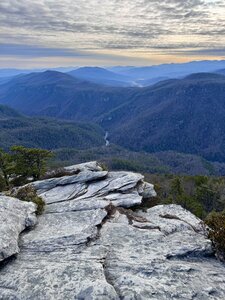
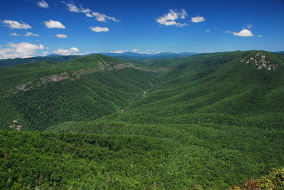
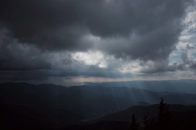
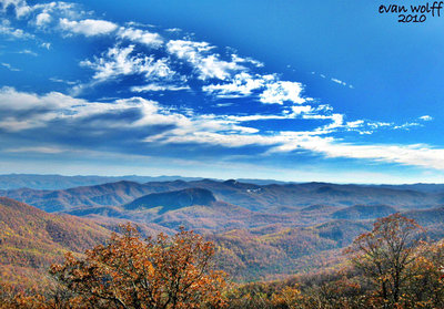
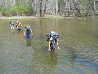
 Particularly Special Place


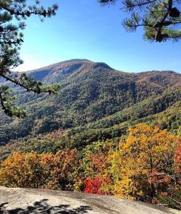
Top Rated Hiking Trails
near JAARS, North Carolina
JAARS, North Carolina 
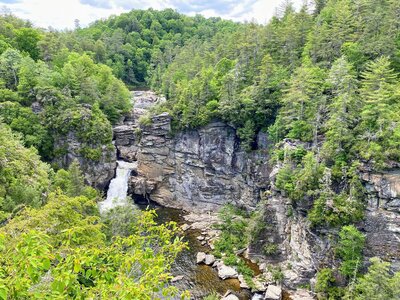
Recommended Routes, Photos, & More


 Very Difficult
Woody Ridge Trail (177)
2.4 mi 3.9 km • 2,973' Up 906.27 m Up • 11' Down 3.27 m Down
 Burnsville, NC

 Difficult
Shortoff Mountain Trail
7.7 mi 12.4 km • 3,035' Up 925.02 m Up • 914' Down 278.55 m Down
Glen Al…, NC
 Intermediate/Difficult
Hawksbill Mountain Trail
1.0 mi 1.6 km • 687' Up 209.44 m Up • 0' Down 0 m Down
Spruce…, NC

 Intermediate
Catawba Falls Trail
1.2 mi 1.9 km • 357' Up 108.96 m Up • 8' Down 2.38 m Down
 Black M…, NC
 Intermediate/Difficult
Table Rock Summit Trail
0.7 mi 1.1 km • 550' Up 167.71 m Up • 0' Down 0 m Down
Spruce…, NC
 Difficult
Pinch-In Trail
1.1 mi 1.8 km • 0' Up 0 m Up • 1,668' Down 508.45 m Down
Spruce…, NC
 Intermediate
Uwharrie Trail Extension
6.3 mi 10.1 km • 1,114' Up 339.65 m Up • 773' Down 235.68 m Down
Troy, NC
 Very Difficult
Colbert Ridge Trail
3.7 mi 6.0 km • 2,964' Up 903.43 m Up • 0' Down 0 m Down
Burnsville, NC
 Intermediate/Difficult
Mountains-to-Sea Trail: Segment 3
69.7 mi 112.2 km • 10,602' Up 3231.63 m Up • 12,515' Down 3814.61 m Down
Mills R…, NC
 Intermediate/Difficult
Ridgeline Trail
8.3 mi 13.3 km • 1,032' Up 314.57 m Up • 428' Down 130.53 m Down
Clover, SC
 Difficult
Linville Gorge Trail
14.0 mi 22.5 km • 3,096' Up 943.65 m Up • 1,080' Down 329.23 m Down
Glen Al…, NC
 Difficult
Weed Patch Mountain Trail
7.6 mi 12.2 km • 2,459' Up 749.43 m Up • 535' Down 163 m Down
Lake Lure, NC
 Difficult
Mt. Mitchell Trail #190
5.7 mi 9.2 km • 3,624' Up 1104.62 m Up • 0' Down 0 m Down
Black M…, NC
 Intermediate/Difficult
Uwharrie National Recreation Trail
20.1 mi 32.4 km • 2,831' Up 863 m Up • 2,807' Down 855.66 m Down
 Intermediate
Murray's Mill Pond Loop Trail
1.8 mi 2.9 km • 61' Up 18.51 m Up • 57' Down 17.23 m Down
Claremont, NC

 Easy/Intermediate
Catawba Riverfront Greenway
1.4 mi 2.3 km • 27' Up 8.08 m Up • 7' Down 2.15 m Down
Mount H…, NC
 Intermediate
Mineral Springs Greenway
1.8 mi 2.9 km • 6' Up 1.82 m Up • 79' Down 24.11 m Down
Mineral…, NC
 Intermediate/Difficult
Crabtree Falls Trail
2.7 mi 4.4 km • 607' Up 184.99 m Up • 587' Down 178.82 m Down
Spruce…, NC
 Intermediate/Difficult
Tunnel Trail
0.1 mi 0.2 km • 99' Up 30.28 m Up • 0' Down 0 m Down
Lake Lure, NC
 No Photos
Intermediate
No Photos
Intermediate
Blue Point
0.3 mi 0.5 km • 52' Up 15.71 m Up • 44' Down 13.35 m Down
Rutherf…, NC
 Intermediate/Difficult
Plunge Basin Trail
0.9 mi 1.5 km • 337' Up 102.69 m Up • 233' Down 71.09 m Down
Newland, NC
No Photos
 Easy
Easy
Sugar Creek Greenway: I-485 to Polk Historic Site
1.9 mi 3.0 km • 53' Up 16.02 m Up • 71' Down 21.77 m Down
Pineville, NC
No Photos
Easy
Sherrills Pass
1.4 mi 2.2 km • 71' Up 21.63 m Up • 112' Down 34.28 m Down
Lake No…, NC
 Difficult
Conley Cove Trail
1.0 mi 1.6 km • 0' Up 0 m Up • 933' Down 284.43 m Down
Spruce…, NC
 Intermediate
Hickory Greenway
1.2 mi 1.9 km • 143' Up 43.62 m Up • 64' Down 19.57 m Down
Northlakes, NC
 Easy
Easy
Vaughn Creek Greenway
0.8 mi 1.3 km • 155' Up 47.16 m Up • 60' Down 18.22 m Down
Tryon, NC
 Intermediate
Salisbury Greenway (Grants Creek)
0.7 mi 1.2 km • 13' Up 3.98 m Up • 2' Down 0.48 m Down
Salisbury, NC
 Intermediate
General Greene Tree
0.6 mi 1.0 km • 81' Up 24.57 m Up • 43' Down 13.22 m Down
Gadsden, SC


