
 Continue with onX Maps
 Sign in with Facebook


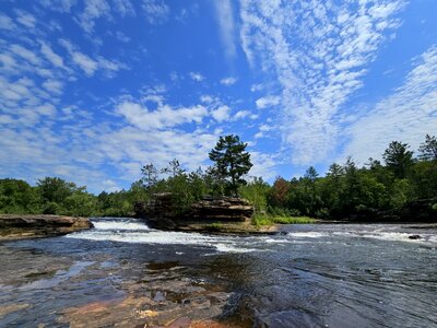
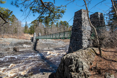
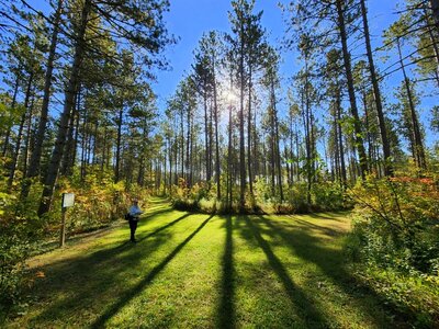
 Particularly Special Place


Newest Hiking Trails
near Tamarack, Minnesota
Tamarack, Minnesota 
Recommended Routes, Photos, & More

 Easy
Easy
Big Spring Falls Trail
0.2 mi 0.3 km • 0' Up 0 m Up • 27' Down 8.27 m Down

 No Photos
 Intermediate
Ely's Peak Loop
1.2 mi 1.9 km • 431' Up 131.33 m Up • 113' Down 34.56 m Down
 Intermediate
Ely's Peak Spur Trail
0.1 mi 0.1 km • 21' Up 6.27 m Up • 0' Down 0 m Down

 Easy/Intermediate
Kennedy Brook Trail
2.0 mi 3.2 km • 12' Up 3.54 m Up • 21' Down 6.42 m Down
 Easy/Intermediate
Two Rivers Trail
4.4 mi 7.0 km • 72' Up 21.99 m Up • 64' Down 19.52 m Down
 Intermediate
Summer Trail
2.7 mi 4.4 km • 248' Up 75.66 m Up • 474' Down 144.59 m Down
 Intermediate
Silver Creek Trail
3.2 mi 5.2 km • 311' Up 94.89 m Up • 317' Down 96.7 m Down
 Easy/Intermediate
Sandrock Cliffs Trail
3.3 mi 5.4 km • 315' Up 96.13 m Up • 317' Down 96.5 m Down
 Easy
Easy
Anderson Road Trail
1.0 mi 1.6 km • 45' Up 13.65 m Up • 88' Down 26.85 m Down
Intermediate
Continental Divide Trail
1.6 mi 2.5 km • 139' Up 42.38 m Up • 225' Down 68.63 m Down
 Easy
Easy
Old Schoolhouse Trail
1.2 mi 1.9 km • 144' Up 43.91 m Up • 20' Down 6.15 m Down

 Intermediate/Difficult
Vole Trail
0.8 mi 1.2 km • 60' Up 18.23 m Up • 60' Down 18.43 m Down
Shell Lake, WI
Easy/Intermediate
Deer Trail
0.4 mi 0.7 km • 2' Up 0.71 m Up • 25' Down 7.51 m Down
Shell Lake, WI
 Intermediate
Barred Owl Trail
0.3 mi 0.5 km • 21' Up 6.45 m Up • 96' Down 29.24 m Down
Shell Lake, WI
No Photos
Intermediate
Porcupine Trail
0.3 mi 0.4 km • 67' Up 20.31 m Up • 14' Down 4.26 m Down
Shell Lake, WI
 Intermediate
Bog Boardwalk
0.1 mi 0.2 km • 28' Up 8.54 m Up • 13' Down 4.04 m Down
Shell Lake, WI
 Intermediate
Frances Andrews Trail
0.2 mi 0.3 km • 64' Up 19.37 m Up • 0' Down 0.03 m Down
 Intermediate/Difficult
Bear Trail
2.0 mi 3.2 km • 171' Up 52.13 m Up • 264' Down 80.47 m Down
Shell Lake, WI
No Photos
Easy/Intermediate
Rum River Run
3.6 mi 5.9 km • 138' Up 42.09 m Up • 145' Down 44.2 m Down
 Intermediate
River Trail
0.6 mi 1.0 km • 46' Up 13.9 m Up • 84' Down 25.72 m Down
 No Photos
Easy
No Photos
Easy
Forest Road #3491
1.9 mi 3.1 km • 99' Up 30.05 m Up • 140' Down 42.75 m Down
 Intermediate
Red River Oxcart Trail
2.5 mi 4.1 km • 169' Up 51.52 m Up • 166' Down 50.66 m Down
Baxter, MN
No Photos
Easy
Forest Road: Wabana Lake to Hanson Lake
1.7 mi 2.8 km • 101' Up 30.7 m Up • 102' Down 31.11 m Down
 Easy/Intermediate
Hiking Club Trail
2.6 mi 4.2 km • 182' Up 55.33 m Up • 173' Down 52.84 m Down
No Photos
Easy
St. Louis River Section A Trail
0.7 mi 1.2 km • 6' Up 1.96 m Up • 97' Down 29.66 m Down
No Photos
Intermediate
Lookout Mountain Section J Trail
1.6 mi 2.5 km • 264' Up 80.37 m Up • 161' Down 48.93 m Down
No Photos
Easy
Bird Lake Trail
4.2 mi 6.7 km • 288' Up 87.64 m Up • 245' Down 74.6 m Down
No Photos
Easy
Harris Lake Access Trail
0.5 mi 0.9 km • 33' Up 10.21 m Up • 45' Down 13.83 m Down


