
 Continue with onX Maps
 Sign in with Facebook


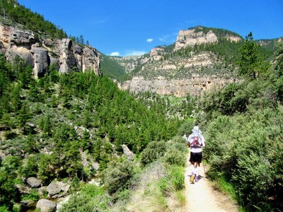
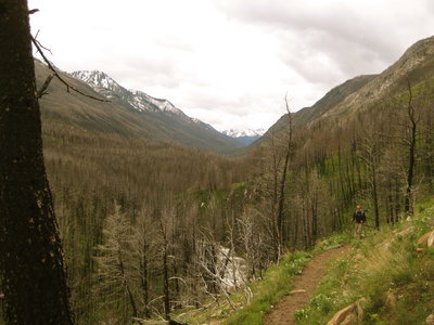
 Particularly Special Place


Newest Recommended Hiking Routes
near Park City, Montana
Park City, Montana 
Recommended Routes, Photos, & More

 Intermediate
Montana Trail Sec. 15: Chico Hot Springs to Livingston
68.4 mi 110.1 km • 10,601' Up 3231.17 m Up • 11,379' Down 3468.28 m Down

 Intermediate
Montana Trail Sec. 16: Livingston to Lennep
97.0 mi 156.1 km • 10,073' Up 3070.2 m Up • 9,309' Down 2837.52 m Down
 Very Difficult
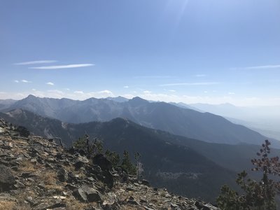
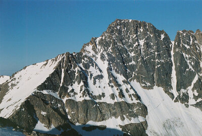
Granite Peak Trail
23.6 mi 37.9 km • 7,401' Up 2255.88 m Up • 7,401' Down 2255.84 m Down
Cooke City, MT

 Intermediate/Difficult
Big Timber to Blue and Granite Lakes
8.2 mi 13.2 km • 1,927' Up 587.43 m Up • 1,927' Down 587.46 m Down
 Big Timber, MT
 Intermediate
Phipps Park
4.2 mi 6.8 km • 426' Up 129.93 m Up • 422' Down 128.61 m Down
 Intermediate
Four Dances Trail
1.8 mi 2.9 km • 408' Up 124.21 m Up • 407' Down 124.2 m Down
Billings, MT
 Intermediate
Pompeys Pillar
0.6 mi 1.0 km • 70' Up 21.27 m Up • 70' Down 21.25 m Down

 Easy
Easy
Island and Night Lakes
3.3 mi 5.3 km • 71' Up 21.5 m Up • 74' Down 22.46 m Down
 Intermediate
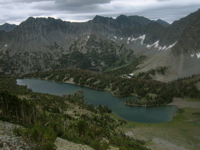
Elk Lake
6.7 mi 10.7 km • 569' Up 173.35 m Up • 569' Down 173.35 m Down
Red Lodge, MT
 Intermediate
Lost Lake
10.7 mi 17.2 km • 1,352' Up 412.01 m Up • 1,351' Down 411.86 m Down
Red Lodge, MT
 Difficult
Tongue River Point-to-Point
9.4 mi 15.1 km • 385' Up 117.38 m Up • 4,393' Down 1339 m Down
 Difficult
Seven Mile Hole-Washburn Hot Springs
13.3 mi 21.4 km • 2,016' Up 614.54 m Up • 2,017' Down 614.72 m Down
Canyon…, WY
 Difficult
Bliss Pass
19.9 mi 32.0 km • 2,939' Up 895.87 m Up • 3,974' Down 1211.4 m Down
 Intermediate
Slough Creek
14.6 mi 23.5 km • 1,102' Up 335.8 m Up • 1,102' Down 335.76 m Down

 Easy/Intermediate
Island Lake to Beartooth Lake
5.7 mi 9.2 km • 221' Up 67.42 m Up • 865' Down 263.72 m Down
Tower J…, WY
 Intermediate/Difficult
Specimen Ridge
17.7 mi 28.5 km • 3,681' Up 1121.97 m Up • 3,297' Down 1004.96 m Down
 Intermediate
Pebble Creek
12.1 mi 19.5 km • 1,077' Up 328.27 m Up • 1,551' Down 472.62 m Down
Cooke City, MT
 Difficult
Specimen Ridge Petrified Forest
3.8 mi 6.1 km • 1,722' Up 524.81 m Up • 1,722' Down 524.76 m Down
 Difficult
Fourmile Trail
7.3 mi 11.8 km • 3,189' Up 972.05 m Up • 13' Down 4.11 m Down
Cooke City, MT
 Difficult
East Fork Mill Creek
11.3 mi 18.2 km • 3,860' Up 1176.39 m Up • 130' Down 39.67 m Down
Livingston, MT
 Intermediate
West Fork Boulder River
26.2 mi 42.2 km • 2,583' Up 787.3 m Up • 2,582' Down 786.99 m Down
Livingston, MT


