Continue with onX Maps
 Sign in with Facebook


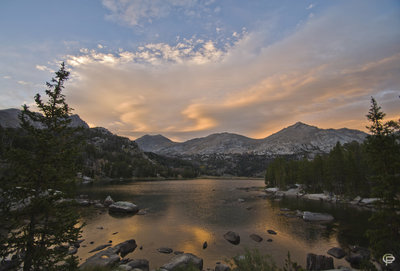
 Particularly Special Place


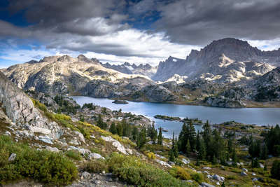
Newest Recommended Hiking Routes
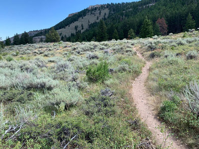
near Kirby, Wyoming
Kirby, Wyoming 
Recommended Routes, Photos, & More

 Very Difficult
Pinedale-Dubois Traverse
45.9 mi 73.9 km • 7,126' Up 2172.12 m Up • 8,880' Down 2706.66 m Down
 Pinedale, WY

 Intermediate/Difficult
Stough Creek - Pinto Park Loop
32.3 mi 51.9 km • 5,573' Up 1698.54 m Up • 5,593' Down 1704.8 m Down
Lander, WY
 Very Difficult
Skurka's Wind River High Route
101.8 mi 163.8 km • 24,264' Up 7395.72 m Up • 23,789' Down 7251.03 m Down
Lander, WY
 Intermediate/Difficult
Washakie - Hailey Pass Loop
35.9 mi 57.8 km • 5,201' Up 1585.33 m Up • 5,203' Down 1585.92 m Down
Big Sandy, WY

 Difficult
Ross Lake
13.2 mi 21.2 km • 3,685' Up 1123.07 m Up • 3,685' Down 1123.1 m Down
 Very Difficult
Gannett Peak via the Glacier Trail
54.7 mi 88.0 km • 11,191' Up 3411.05 m Up • 11,193' Down 3411.65 m Down
Dubois, WY
 Intermediate/Difficult
Cirque of the Towers: Two Pass Loop
24.3 mi 39.1 km • 3,696' Up 1126.65 m Up • 3,700' Down 1127.91 m Down
Big Sandy, WY
 No Photos
 Intermediate
Lake Louise Out and Back
4.9 mi 7.9 km • 985' Up 300.35 m Up • 986' Down 300.59 m Down
Dubois, WY
 Intermediate/Difficult
Hunter TH to Florence Pass
29.8 mi 48.0 km • 4,378' Up 1334.47 m Up • 4,378' Down 1334.39 m Down
Buffalo, WY
Difficult
Big Sandy Lizard Towers Loop
40.4 mi 65.1 km • 5,918' Up 1803.87 m Up • 5,918' Down 1803.93 m Down
Big Sandy, WY
 Difficult
Elsa/Spear Lake Loop
25.3 mi 40.7 km • 5,122' Up 1561.24 m Up • 5,119' Down 1560.25 m Down
Sheridan, WY
 Intermediate
Popo Agie Nature Trail Loop
2.4 mi 3.9 km • 333' Up 101.65 m Up • 333' Down 101.46 m Down
 Difficult
Black Mountain Lookout
3.9 mi 6.2 km • 1,024' Up 312.22 m Up • 1,024' Down 312.22 m Down
Sheridan, WY
 Intermediate/Difficult
Florence Pass to Florence Lake
15.7 mi 25.3 km • 1,929' Up 587.86 m Up • 1,932' Down 588.76 m Down
Buffalo, WY
 Very Difficult
Leigh Monument Out-and-Back
6.9 mi 11.1 km • 318' Up 96.78 m Up • 2,419' Down 737.24 m Down

 Easy
Easy
Rainbow Terraces Loop
0.8 mi 1.3 km • 22' Up 6.74 m Up • 19' Down 5.94 m Down
 Intermediate
Geneva Lake
9.1 mi 14.7 km • 932' Up 284.16 m Up • 932' Down 284.11 m Down
 Sheridan, WY
 Intermediate/Difficult
Sherd Lake Loop
10.4 mi 16.7 km • 1,559' Up 475.19 m Up • 1,559' Down 475.18 m Down
 Difficult
Cloud Peak Out-and-Back
23.8 mi 38.3 km • 5,135' Up 1565.19 m Up • 5,135' Down 1565.24 m Down
Buffalo, WY
 Intermediate
Red Grade Trail System Loop
1.8 mi 2.9 km • 255' Up 77.67 m Up • 244' Down 74.38 m Down
 Difficult
Tongue River Point-to-Point
9.4 mi 15.1 km • 385' Up 117.38 m Up • 4,393' Down 1339 m Down