Use onX Backcountry to explore the terrain in 3D, view recent satellite imagery, and more.
Now available in onX Backcountry Mobile apps!
For more information see this post.
Anyone passing above the Plaza de Mulas must not only have a permit but must pass an examination by a medical team.
Description
No technical crevase or climbing skills are needed for this summit. Just good weather, good endurance, and good acclimitization.
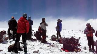
The summit and the mountain in general can be brutally windy.
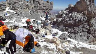
From the Camp Colera, head up the blunt spine and power up. After about a mile, you pass the Refugio Independencia (a small hut used for emergencies). From here, you cut across a steep face for the next mile. The trail then goes through an open gully for the next 1/4 mile until you make the rounded top where you can finally summit Aconcagua.


 Continue with onX Maps
 Sign in with Facebook


 Particularly Special Place


0 Comments