
 Continue with onX Maps
 Sign in with Facebook


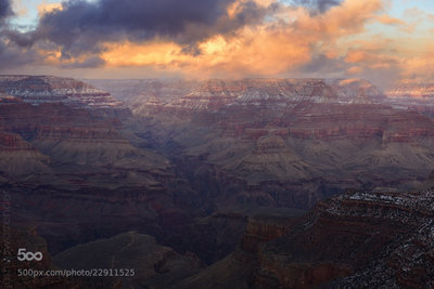
 Particularly Special Place


 Difficult
Difficult
Difficult
 Difficult
Land Manager: National Park Service - Grand Canyon National Park

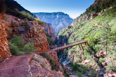
 Rim-to-River via South Kaibab
14.8 mi 23.9 km • 5,131' Up 1563.87 m Up • 5,131' Down 1564.02 m Down
 Grand C…, AZ
 Hermit Trail to Hermit Creek
17.8 mi 28.6 km • 5,634' Up 1717.34 m Up • 5,636' Down 1717.81 m Down
Grand C…, AZ

 Ribbon Falls from Bright Angel Camp
13.2 mi 21.2 km • 1,637' Up 499.01 m Up • 1,638' Down 499.2 m Down
Grand C…, AZ
 Grandview Trail to Horseshoe Mesa
5.4 mi 8.8 km • 2,489' Up 758.65 m Up • 2,494' Down 760.19 m Down
Grand C…, AZ
 Widforss Point
4.9 mi 7.9 km • 495' Up 150.87 m Up • 630' Down 192.07 m Down
Grand C…, AZ
 Uncle Jim Complete Loop
4.8 mi 7.8 km • 494' Up 150.7 m Up • 495' Down 150.91 m Down


 All Clear

6 Comments