
 Continue with onX Maps
 Sign in with Facebook


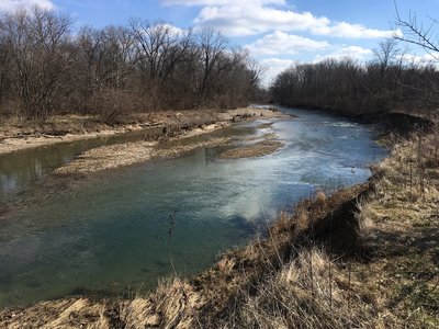
 Particularly Special Place


 Easy
Easy
Easy
Easy
 Easy
Easy
Land Manager: Five Rivers MetroParks

 Orange Trail
6.2 mi 9.9 km • 567' Up 172.77 m Up • 566' Down 172.55 m Down


 Sharon Woods Super Sampler
4.4 mi 7.1 km • 246' Up 75.09 m Up • 233' Down 70.9 m Down
Sharonv…, OH
 Gilmore Ponds Loop
2.3 mi 3.6 km • 22' Up 6.6 m Up • 21' Down 6.44 m Down
Fairfield, OH
 North Riverside Natural Area Loop
2.0 mi 3.2 km • 30' Up 9.18 m Up • 31' Down 9.45 m Down
 Broken Toe 25k & 50k
15.5 mi 24.9 km • 1,012' Up 308.35 m Up • 1,030' Down 314.03 m Down

 Kyle Park Horse Trail Loop
4.5 mi 7.2 km • 19' Up 5.74 m Up • 19' Down 5.72 m Down
Tipp City, OH


0 Comments